Details for Flight 1017123
| ModeS Hex Code | AD9642 |
|---|---|
| Registration | N975AK |
| Aircraft Type | Boeing 737 MAX 9 B39M |
| Category | Jet |
| Operator |
Alaska Airlines ASA  |
| Callsign | ASA297 |
| First Seen | 2024-11-05 18:45:39 |
| First Altitude | 34000 ft |
| Last Seen | 2024-11-05 19:09:41 |
| Last Altitude | 34000 ft |
| Flight Status |
 Level flight Level flight |
| Number of Positions Reported | 484 |
| Possibly Landed At | |
| Published Route |
ICAO: KEWR–KSAN IATA: EWR–SAN Airports: Newark Liberty to San Diego Places: Newark, United States to San Diego, United States |
| Tracking |
 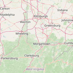   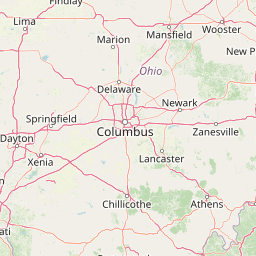 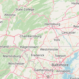   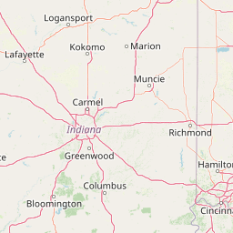 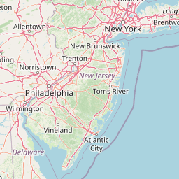   Leaflet © OpenStreetMap contributors |