Details for Flight 1049594
| ModeS Hex Code | AC4C44 |
|---|---|
| Registration | N8916Q |
| Aircraft Type | 737MAX 8 B38M |
| Category | Jet |
| Operator |
Southwest Airlines SWA  |
| Callsign | SWA1891 |
| First Seen | 2024-11-12 22:04:28 |
| First Altitude | 82800 ft |
| Last Seen | 2024-11-12 22:13:43 |
| Last Altitude | 24975 ft |
| Flight Status |
 Descending Descending |
| Number of Positions Reported | 39 |
| Possibly Landed At | |
| Published Route |
ICAO: KPHX–KLAS IATA: PHX–LAS Airports: Phoenix Sky Harbor to McCarran Places: Phoenix, United States to Las Vegas, United States |
| Tracking |
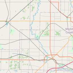 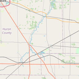 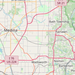 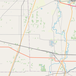 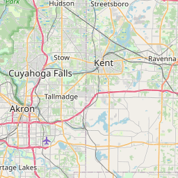   Leaflet © OpenStreetMap contributors |