Details for Flight 1072874
| ModeS Hex Code | A148B9 |
|---|---|
| Registration | N182GJ |
| Aircraft Type | Bombardier CRJ 900 LR NG CRJ9 |
| Category | Jet |
| Operator |
Delta Connection EDV  |
| Callsign | EDV5091 |
| First Seen | 2024-11-18 06:19:46 |
| First Altitude | 33000 ft |
| Last Seen | 2024-11-18 06:45:55 |
| Last Altitude | 27000 ft |
| Flight Status |
 Descending Descending |
| Number of Positions Reported | 462 |
| Possibly Landed At | |
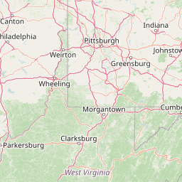
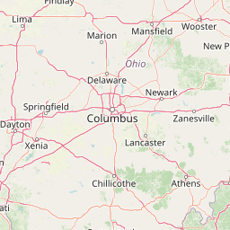
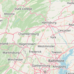
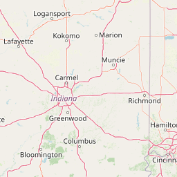
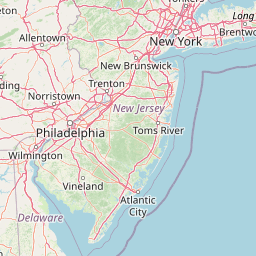
| Published Route |
ICAO: KCVG–KLGA IATA: CVG–LGA Airports: Cincinnati Northern Kentucky to La Guardia Places: Cincinnati, United States to New York, United States |
| Tracking |
Leaflet © OpenStreetMap contributors |