Details for Flight 1088161
| ModeS Hex Code | A22B28 |
|---|---|
| Registration | N239NN |
| Aircraft Type | Embraer EMB-175 LR E75L |
| Category | Jet |
| Operator |
American Eagle ENY  |
| Callsign | ENY4027 |
| First Seen | 2024-11-21 12:13:21 |
| First Altitude | 23000 ft |
| Last Seen | 2024-11-21 12:15:57 |
| Last Altitude | 20550 ft |
| Flight Status |
 Descending Descending |
| Number of Positions Reported | 26 |
| Possibly Landed At | |
| Published Route |
ICAO: KDCA–KDCA IATA: DCA–DCA Airports: Ronald Reagan Washington National to Ronald Reagan Washington National Places: Washington, United States to Washington, United States |
| Tracking |
    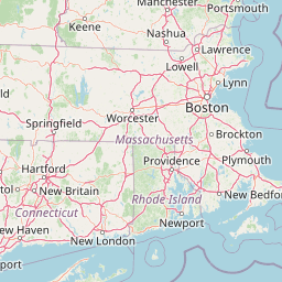   Leaflet © OpenStreetMap contributors |