Details for Flight 1214643
| ModeS Hex Code | A0B7D9 |
|---|---|
| Registration | N14512 |
| Aircraft Type | A321 271NXSL A21N |
| Category | Jet |
| Operator |
United Airlines UAL  |
| Callsign | UAL3754 |
| First Seen | 2024-12-20 17:03:20 |
| First Altitude | 34475 ft |
| Last Seen | 2024-12-20 17:25:52 |
| Last Altitude | 37950 ft |
| Flight Status |
 Climbing Climbing |
| Number of Positions Reported | 944 |
| Possibly Landed At | |
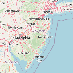
| Published Route |
ICAO: KORD–KDTW IATA: ORD–DTW Airports: Chicago O'Hare to Detroit Metropolitan Wayne County Places: Chicago, United States to Detroit, United States |
| Tracking |
 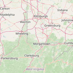   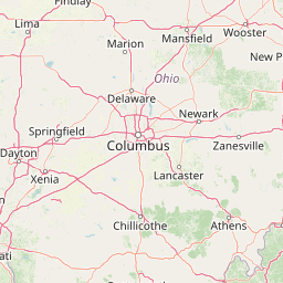 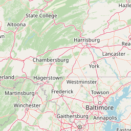   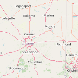    Leaflet © OpenStreetMap contributors |