Details for Flight 1242177
| ModeS Hex Code | A688FF |
|---|---|
| Registration | N520AS |
| Aircraft Type | Boeing 737NG 890/W B738 |
| Category | Jet |
| Operator |
Alaska Airlines ASA  |
| Callsign | ASA359 |
| First Seen | 2024-12-28 20:41:11 |
| First Altitude | 34000 ft |
| Last Seen | 2024-12-28 20:44:31 |
| Last Altitude | 34000 ft |
| Flight Status |
 Level flight Level flight |
| Number of Positions Reported | 12 |
| Possibly Landed At | |
| Published Route |
ICAO: KTPA–KSEA IATA: TPA–SEA Airports: Tampa to Seattle Tacoma Places: Tampa, United States to Seattle, United States |
| Tracking |
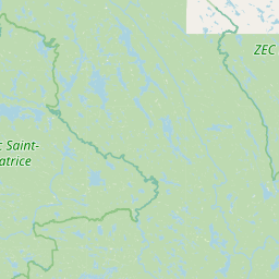 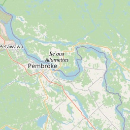 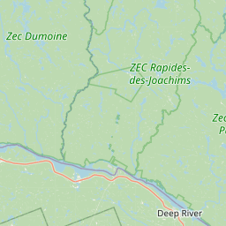 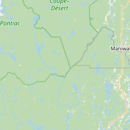         Leaflet © OpenStreetMap contributors |