Details for Flight 1243456
| ModeS Hex Code | A920F4 |
|---|---|
| Registration | N688AE |
| Aircraft Type | ERJ-145 LR E145 |
| Category | Jet |
| Operator |
American Eagle ENY  |
| Callsign | PDT5847 |
| First Seen | 2024-12-29 08:59:33 |
| First Altitude | 30000 ft |
| Last Seen | 2024-12-29 09:09:20 |
| Last Altitude | 14350 ft |
| Flight Status |
 Descending Descending |
| Number of Positions Reported | 240 |
| Possibly Landed At | |
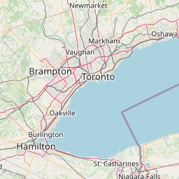
| Published Route |
ICAO: KBOS–KBOS IATA: BOS–BOS Airports: General Edward Lawrence Logan to General Edward Lawrence Logan Places: Boston, United States to Boston, United States |
| Tracking |
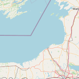  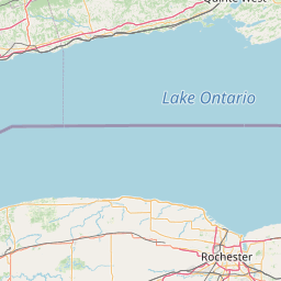 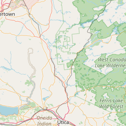 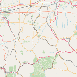   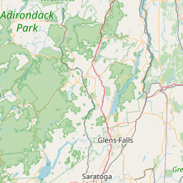     Leaflet © OpenStreetMap contributors |