Details for Flight 1366873
| ModeS Hex Code | A9C6C9 |
|---|---|
| Registration | N729UM |
| Aircraft Type | SR22T S22T |
| Category | General Aviation |
| Operator | Private |
| Callsign | N729UM |
| First Seen | 2025-01-30 09:14:05 |
| First Altitude | 625 ft |
| Last Seen | 2025-01-30 09:25:03 |
| Last Altitude | 800 ft |
| Flight Status |
 Level flight Level flight |
| Number of Positions Reported | 853 |
| Possibly Landed At | |
| Published Route | |
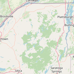
| Tracking |
Leaflet © OpenStreetMap contributors |