Details for Flight 1367975
| ModeS Hex Code | AA0292 |
|---|---|
| Registration | N744N |
| Aircraft Type | Learjet 31 A LJ31 |
| Category | Bizjet |
| Operator | Thunderun Aviation |
| Callsign | N744N |
| First Seen | 2025-01-30 13:51:08 |
| First Altitude | 4575 ft |
| Last Seen | 2025-01-30 13:58:16 |
| Last Altitude | 4650 ft |
| Flight Status |
 Level flight Level flight |
| Number of Positions Reported | 117 |
| Possibly Landed At | |
| Published Route | |
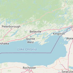
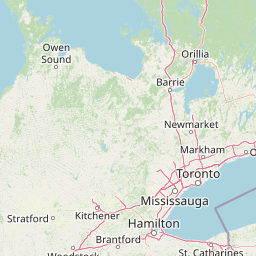
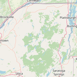
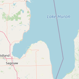
| Tracking |
Leaflet © OpenStreetMap contributors |