Details for Flight 1370549
| ModeS Hex Code | A126E7 |
|---|---|
| Registration | N17311 |
| Aircraft Type | Boeing 737 MAX 8 B38M |
| Category | Jet |
| Operator |
United Airlines UAL  |
| Callsign | UAL1375 |
| First Seen | 2025-01-31 05:24:47 |
| First Altitude | 37000 ft |
| Last Seen | 2025-01-31 05:51:40 |
| Last Altitude | 28500 ft |
| Flight Status |
 Descending Descending |
| Number of Positions Reported | 791 |
| Possibly Landed At | |
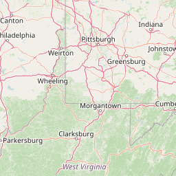
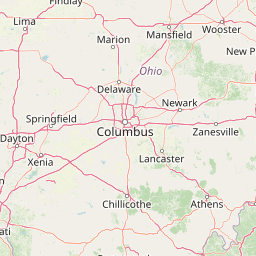
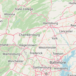
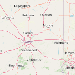
| Published Route |
ICAO: KPHX–KEWR IATA: PHX–EWR Airports: Phoenix Sky Harbor to Newark Liberty Places: Phoenix, United States to Newark, United States |
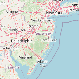
| Tracking |
Leaflet © OpenStreetMap contributors |