Details for Flight 1446844
| ModeS Hex Code | A12EE7 |
|---|---|
| Registration | N17557 |
| Aircraft Type | Boeing 737 MAX 9 B39M |
| Category | Jet |
| Operator |
United Airlines UAL  |
| Callsign | UAL1291 |
| First Seen | 2025-02-20 04:09:55 |
| First Altitude | 33000 ft |
| Last Seen | 2025-02-20 04:30:12 |
| Last Altitude | 33000 ft |
| Flight Status |
 Level flight Level flight |
| Number of Positions Reported | 23 |
| Possibly Landed At | |
| Published Route |
ICAO: KLAS–KEWR IATA: LAS–EWR Airports: McCarran to Newark Liberty Places: Las Vegas, United States to Newark, United States |
| Tracking |
 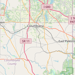  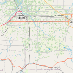    Leaflet © OpenStreetMap contributors |