Details for Flight 1654665
| ModeS Hex Code | C060C3 |
|---|---|
| Registration | C-GKQS |
| Aircraft Type | Embraer E195-E2 E295 |
| Category | Jet |
| Operator |
Porter Airlines POE  |
| Callsign | POE291 |
| First Seen | 2025-04-09 16:51:42 |
| First Altitude | 31725 ft |
| Last Seen | 2025-04-09 17:06:53 |
| Last Altitude | 38000 ft |
| Flight Status |
 Climbing Climbing |
| Number of Positions Reported | 11 |
| Possibly Landed At | |
| Published Route |
ICAO: CYOW–CYWG IATA: YOW–YWG Airports: Ottawa Macdonald-Cartier to Winnipeg / James Armstrong Richardson Places: Ottawa, Canada to Winnipeg, Canada |
| Tracking |
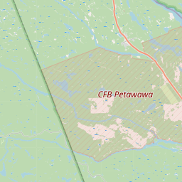 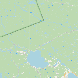 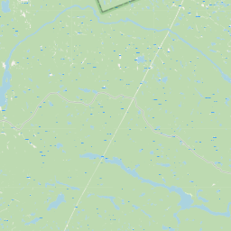 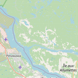         Leaflet © OpenStreetMap contributors |