Details for Flight 2049561
| ModeS Hex Code | AD1218 |
|---|---|
| Registration | N941NN |
| Aircraft Type | 737NG 823/W B738 |
| Category | Jet |
| Operator |
American Airlines AAL  |
| Callsign | AAL2876 |
| First Seen | 2022-06-27 11:36:43 |
| First Altitude | 36000 ft |
| Last Seen | 2022-06-27 12:35:14 |
| Last Altitude | 36000 ft |
| Flight Status |
 Level flight Level flight |
| Number of Positions Reported | 8319 |
| Possibly Landed At | |
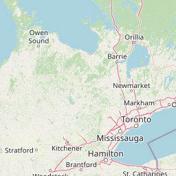
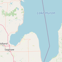
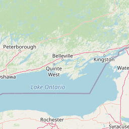
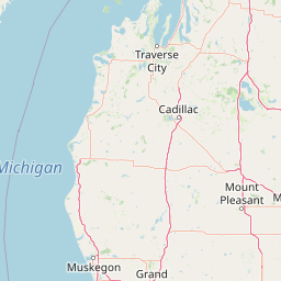
| Published Route |
ICAO: KGEG–KPHX IATA: GEG–PHX Airports: Spokane to Phoenix Sky Harbor Places: Spokane, United States to Phoenix, United States |
| Tracking |
Leaflet © OpenStreetMap contributors |