Details for Flight 2776787
| ModeS Hex Code | AB236A |
|---|---|
| Registration | N817AN |
| Aircraft Type | 787 8 B788 |
| Category | Jet |
| Operator |
American Airlines AAL  |
| Callsign | AAL1077 |
| First Seen | 2022-11-26 15:35:36 |
| First Altitude | 26000 ft |
| Last Seen | 2022-11-26 15:43:55 |
| Last Altitude | 25975 ft |
| Flight Status |
 Level flight Level flight |
| Number of Positions Reported | 9 |
| Possibly Landed At | |
| Published Route |
ICAO: KORD–MGGT IATA: ORD–GUA Airports: Chicago O'Hare to La Aurora Places: Chicago, United States to Guatemala City, Guatemala |
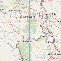
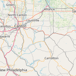
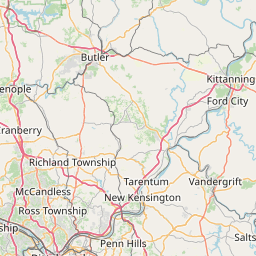
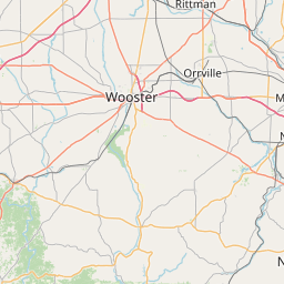
| Tracking |
Leaflet © OpenStreetMap contributors |