Details for Flight 523615
| ModeS Hex Code | A4CE11 |
|---|---|
| Registration | N409AA |
| Aircraft Type | Airbus A321 253NXSL A21N |
| Category | Jet |
| Operator |
American Airlines AAL  |
| Callsign | AAL2783 |
| First Seen | 2024-07-31 20:01:59 |
| First Altitude | 21000 ft |
| Last Seen | 2024-07-31 20:38:55 |
| Last Altitude | 34025 ft |
| Flight Status |
 Climbing Climbing |
| Number of Positions Reported | 62 |
| Possibly Landed At | |
| Published Route |
ICAO: KBOS–KPHX IATA: BOS–PHX Airports: General Edward Lawrence Logan to Phoenix Sky Harbor Places: Boston, United States to Phoenix, United States |
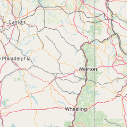
| Tracking |
Leaflet © OpenStreetMap contributors |