Details for Flight 792719
| ModeS Hex Code | A2C35B |
|---|---|
| Registration | N27734 |
| Aircraft Type | Boeing 737NG 724/W B737 |
| Category | Jet |
| Operator |
United Airlines UAL  |
| Callsign | UAL2656 |
| First Seen | 2024-09-21 17:02:24 |
| First Altitude | 31975 ft |
| Last Seen | 2024-09-21 18:02:18 |
| Last Altitude | 37775 ft |
| Flight Status |
 Climbing Climbing |
| Number of Positions Reported | 3272 |
| Possibly Landed At | |
| Published Route |
ICAO: KSNA–KDEN IATA: SNA–DEN Airports: John Wayne Airport-Orange County to Denver Places: Santa Ana, United States to Denver, United States |
| Tracking |
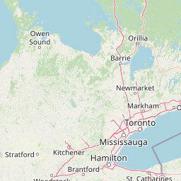  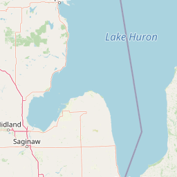 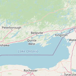   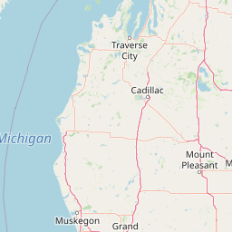      Leaflet © OpenStreetMap contributors |