Details for Flight 872085
| ModeS Hex Code | A0B7D9 |
|---|---|
| Registration | N14512 |
| Aircraft Type | A321 271NXSL A21N |
| Category | Jet |
| Operator |
United Airlines UAL  |
| Callsign | UAL2040 |
| First Seen | 2024-10-06 17:35:32 |
| First Altitude | 31950 ft |
| Last Seen | 2024-10-06 18:33:47 |
| Last Altitude | 33950 ft |
| Flight Status |
 Climbing Climbing |
| Number of Positions Reported | 4428 |
| Possibly Landed At | |
| Published Route |
ICAO: KBOS–KORD IATA: BOS–ORD Airports: General Edward Lawrence Logan to Chicago O'Hare Places: Boston, United States to Chicago, United States |
| Tracking |
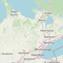  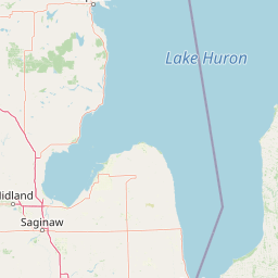 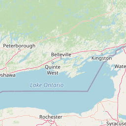   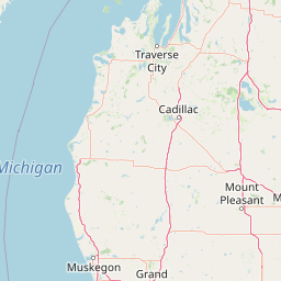 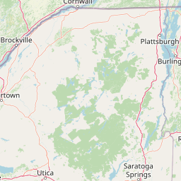     Leaflet © OpenStreetMap contributors |