Details for Flight 945546
| ModeS Hex Code | A211EF |
|---|---|
| Registration | N232WN |
| Aircraft Type | 737NG 7H4/W B737 |
| Category | Jet |
| Operator |
Southwest Airlines SWA  |
| Callsign | SWA626 |
| First Seen | 2024-10-21 10:50:45 |
| First Altitude | 29825 ft |
| Last Seen | 2024-10-21 10:55:13 |
| Last Altitude | 25325 ft |
| Flight Status |
 Descending Descending |
| Number of Positions Reported | 28 |
| Possibly Landed At | |
| Published Route |
ICAO: PHKO–KLAS IATA: KOA–LAS Airports: Kona International At Keahole to McCarran Places: Kailua/Kona, United States to Las Vegas, United States |
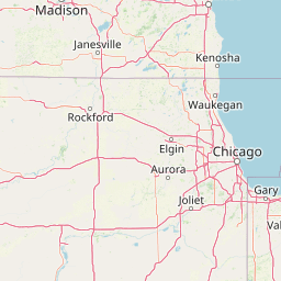
| Tracking |
Leaflet © OpenStreetMap contributors |