Details for Flight 992578
| ModeS Hex Code | C060CA |
|---|---|
| Registration | C-GKQZ |
| Aircraft Type | Embraer E195-E2 E295 |
| Category | Jet |
| Operator |
Porter Airlines POE  |
| Callsign | POE641 |
| First Seen | 2024-10-31 10:08:01 |
| First Altitude | 550 ft |
| Last Seen | 2024-10-31 10:18:03 |
| Last Altitude | 18525 ft |
| Flight Status |
 Climbing Climbing |
| Number of Positions Reported | 781 |
| Possibly Landed At | |
| Published Route |
ICAO: CYYZ–KPHX IATA: YYZ–PHX Airports: Lester B. Pearson to Phoenix Sky Harbor Places: Toronto, Canada to Phoenix, United States |
| Tracking |
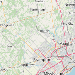 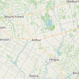 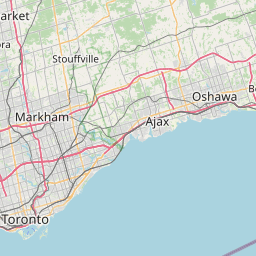 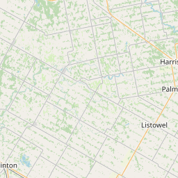 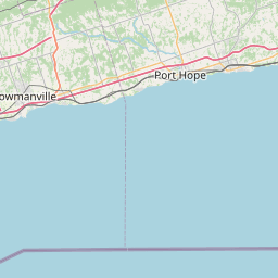   Leaflet © OpenStreetMap contributors |