Details for Flight 993777
| ModeS Hex Code | AA5A0E |
|---|---|
| Registration | N766YX |
| Aircraft Type | Embraer E175LR E75L |
| Category | Jet |
| Operator |
Republic Airways RPA  |
| Callsign | RPA3470 |
| First Seen | 2024-10-31 14:42:29 |
| First Altitude | 34000 ft |
| Last Seen | 2024-10-31 14:55:11 |
| Last Altitude | 34000 ft |
| Flight Status |
 Level flight Level flight |
| Number of Positions Reported | 115 |
| Possibly Landed At | |
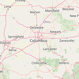
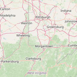
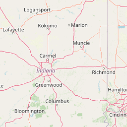
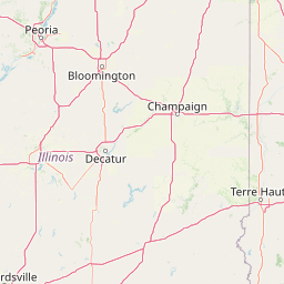
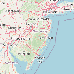
| Published Route |
ICAO: KMKE–KEWR IATA: MKE–EWR Airports: General Mitchell to Newark Liberty Places: Milwaukee, United States to Newark, United States |
| Tracking |
Leaflet © OpenStreetMap contributors |