Details for Flight 99991234728
| ModeS Hex Code | A4556D |
|---|---|
| Registration | N379CA |
| Aircraft Type | CRJ 700 CRJ7 |
| Category | Jet |
| Operator |
Delta Connection GJS  |
| Callsign | GJS6186 |
| First Seen | 2020-01-28 19:29:52 |
| First Altitude | 37600 ft |
| Last Seen | 2020-01-28 20:03:30 |
| Last Altitude | 18800 ft |
| Flight Status |
 Descending Descending |
| Number of Positions Reported | 2703 |
| Possibly Landed At | |
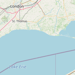
| Published Route |
ICAO: KCVG–KDTW IATA: CVG–DTW Airports: Cincinnati Northern Kentucky to Detroit Metropolitan Wayne County Places: Cincinnati, United States to Detroit, United States |
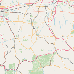
| Tracking |
Leaflet © OpenStreetMap contributors |