Details for Flight 99991377329
| ModeS Hex Code | A94B51 |
|---|---|
| Registration | N69839 |
| Aircraft Type | 737NG 924ER/W B739 |
| Category | Jet |
| Operator |
United Airlines UAL  |
| Callsign | UAL270 |
| First Seen | 2020-03-03 08:41:03 |
| First Altitude | 33075 ft |
| Last Seen | 2020-03-03 08:48:33 |
| Last Altitude | 34000 ft |
| Flight Status |
 Climbing Climbing |
| Number of Positions Reported | 227 |
| Possibly Landed At | |
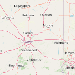
| Published Route |
ICAO: KBWI–KBOI IATA: BWI–BOI Airports: Baltimore/Washington International Thurgood Marshal to Boise Air Terminal/Gowen field Places: Baltimore, United States to Boise, United States |
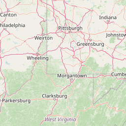
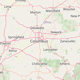
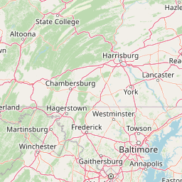
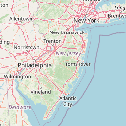
| Tracking |
Leaflet © OpenStreetMap contributors |