Details for Flight 99992080489
| ModeS Hex Code | A8F217 |
|---|---|
| Registration | N676AW |
| Aircraft Type | Airbus A320-232 A320 |
| Category | Jet |
| Operator |
International Lease Finance Corp A320  |
| Callsign | AAL689 |
| First Seen | 2015-10-13 18:48:29 |
| First Altitude | 35000 ft |
| Last Seen | 2015-10-13 19:08:13 |
| Last Altitude | 34975 ft |
| Flight Status |
 Level flight Level flight |
| Number of Positions Reported | 237 |
| Possibly Landed At | |
| Published Route |
ICAO: KSNA–KPHX IATA: SNA–PHX Airports: John Wayne Airport-Orange County to Phoenix Sky Harbor Places: Santa Ana, United States to Phoenix, United States |
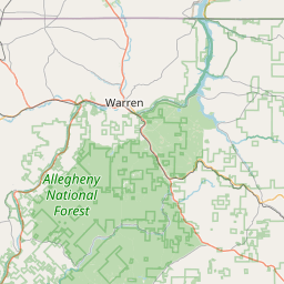
| Tracking |
Leaflet © OpenStreetMap contributors |