Details for Flight 99994017699
| ModeS Hex Code | A71E5C |
|---|---|
| Registration | N558NN |
| Aircraft Type | CRJ 900 LR NG CRJ9 |
| Category | Jet |
| Operator |
American Eagle JIA  |
| Callsign | JIA5125 |
| First Seen | 2017-03-26 14:19:04 |
| First Altitude | 44400 ft |
| Last Seen | 2017-03-26 14:20:50 |
| Last Altitude | 36000 ft |
| Flight Status |
 Descending Descending |
| Number of Positions Reported | 11 |
| Possibly Landed At | |
| Published Route | |
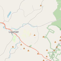
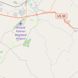
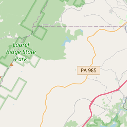
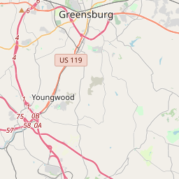
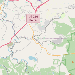
| Tracking |
Leaflet © OpenStreetMap contributors |