Details for Flight 99997525375
| ModeS Hex Code | A8A337 |
|---|---|
| Registration | N656CA |
| Aircraft Type | CRJ 700 CRJ7 |
| Category | Jet |
| Operator |
Delta Connection GJS  |
| Callsign | GJS6187 |
| First Seen | 2019-03-30 07:00:03 |
| First Altitude | 35775 ft |
| Last Seen | 2019-03-30 07:27:24 |
| Last Altitude | 37775 ft |
| Flight Status |
 Climbing Climbing |
| Number of Positions Reported | 266 |
| Possibly Landed At | |
| Published Route |
ICAO: KSTL–KDTW IATA: STL–DTW Airports: Lambert St Louis to Detroit Metropolitan Wayne County Places: St Louis, United States to Detroit, United States |
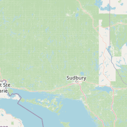
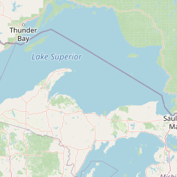
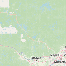
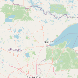
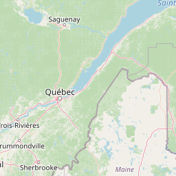
| Tracking |
Leaflet © OpenStreetMap contributors |